Geophysical data acquisition for groundwater management project
Home
Projects
Geophysical data acquisition for groundwater management project
Services Overview
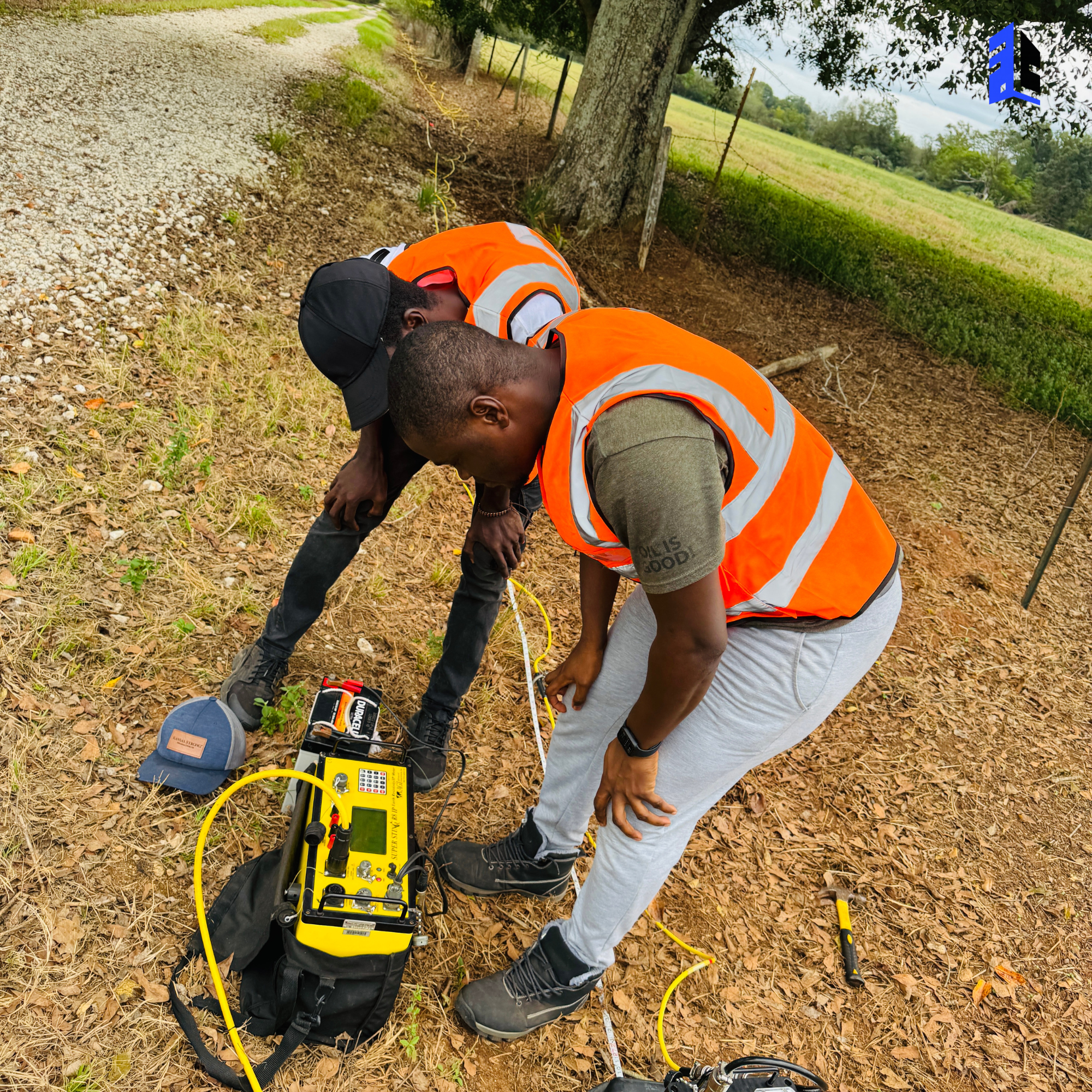
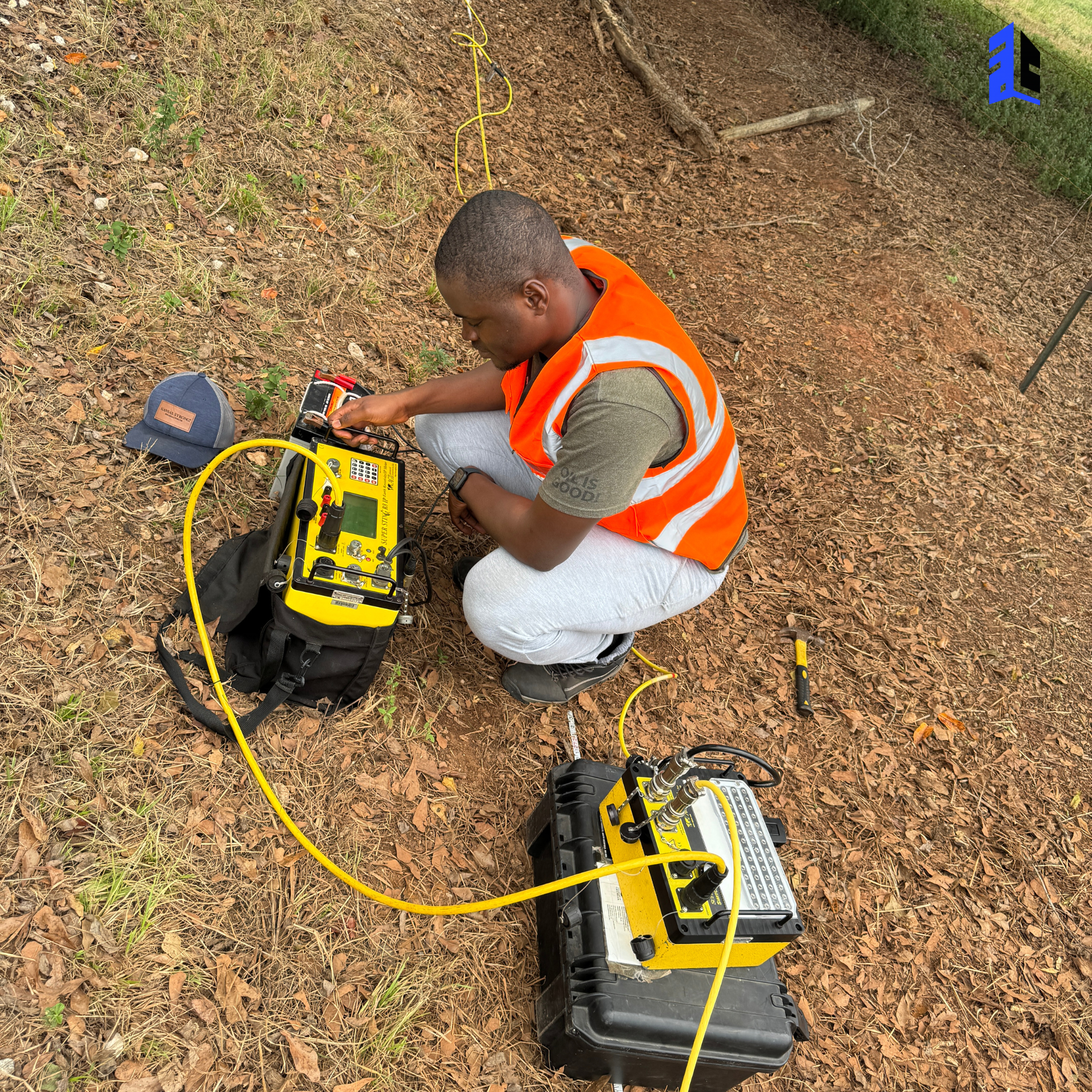
The goal of this project was to conduct geophysical surveys to guide sustainable groundwater development in water-stressed communities across Ilesa East. Our work involved acquiring and interpreting subsurface data to identify reliable aquifers for future borehole siting and groundwater resource planning.
Using electrical resistivity methods, vertical electrical sounding (VES), and hydrogeological profiling, our team produced a detailed map of underground water-bearing formations. These findings allowed stakeholders to select optimal drilling locations, avoid dry wells, and ensure long-term access to clean water for rural households and agricultural needs.
Step by Step Projects
We take a precision-based, environmentally conscious approach to groundwater development. This project followed the steps below:
By integrating geophysical expertise with groundwater management principles, we helped reduce failed drilling attempts and improved community access to safe, sustainable water. Our approach ensures efficiency, cost-effectiveness, and long-term resource protection.